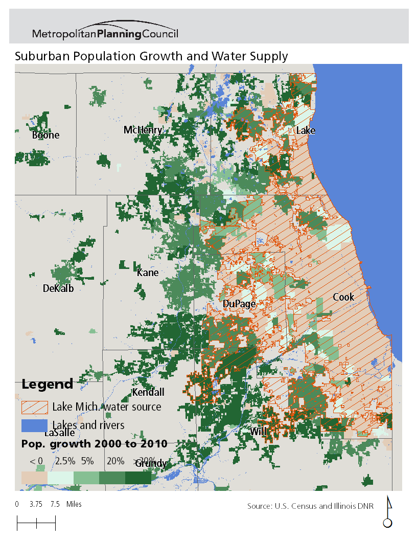
Source: U.S. Census and Illinois DNR, map by Ryan Griffin-Stegink
Download
Data from the 2010 Census shows that the collar counties are growing much faster than the inner communities, which represents a shift from Lake Michigan water to other sources, primarily groundwater. This map shows that the fastest-growing communities are mostly outside of the area that pumps Lake Michigan water. Read more in this blog post.