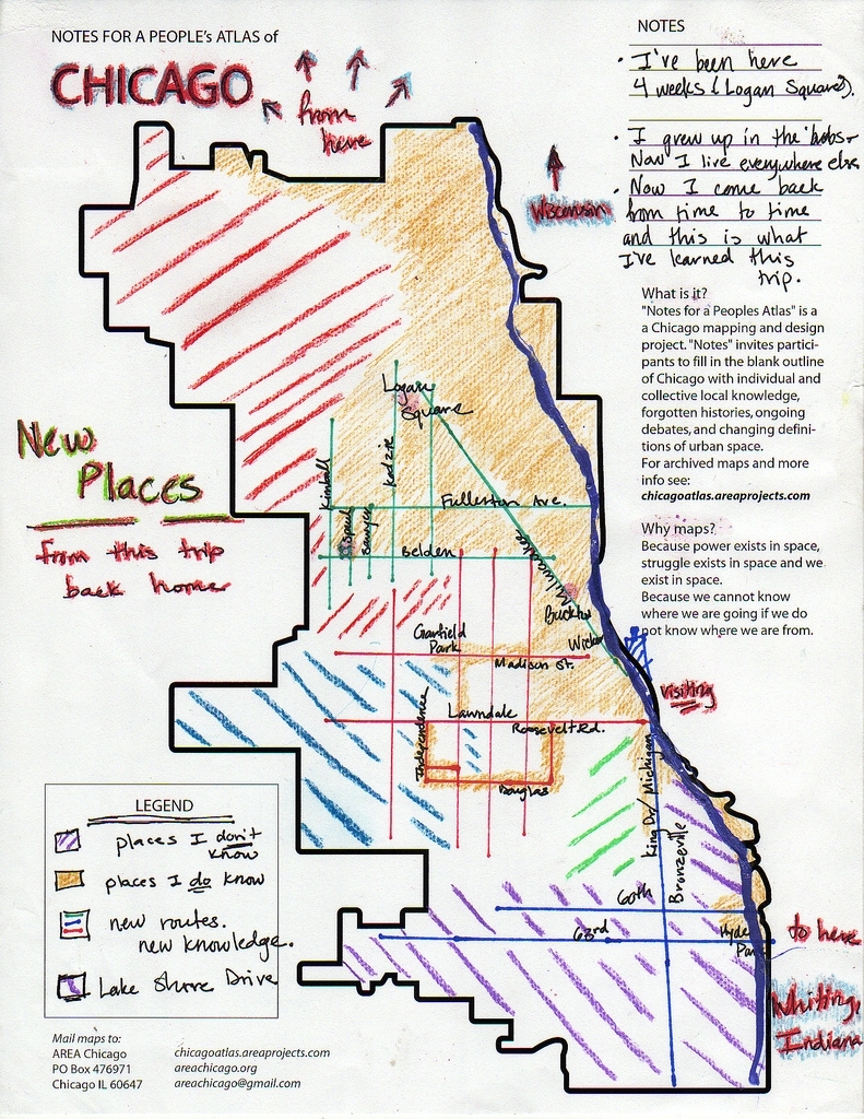
One of the maps in the People's Atlas of Chicago collection
If you were asked to draw a map of your own personal Chicago, what would you include? Your favorite restaurants, the train or bus lines you take every day, or perhaps the different places you’ve lived in the city? Whatever it looks like, chances are it would be totally unique and reflect the way you – and you alone – experience this great city.
Now, imagine if you could visualize how other people experience Chicago. Pretty cool, right? AREA Chicago, a group dedicated to using cultural and educational practices as a means for social justice, thought so, and for the past five years they’ve been collecting hand-drawn maps through their “People’s Atlas of Chicago” project.
The nearly 900 maps, available online, are fascinating to flip through. Recent entries depict sites of favorite Dumpsters, places that provide good views of the sunset, and notable bike rides. I’ve never been particularly interested in Dumpsters, but after seeing one described as a “cornucopia,” I’ll probably start looking at them differently.
These maps get to the essence of the personal connection we have to places we live, work, and play – one of the things MPC has been exploring through Placemaking Chicago. This summer, for example, the “What Makes Your Place Great? Your Secret Corner of Chicagoland” contest received submissions from two dozen hidden gems around the region. Check out the submissions for examples of some of the region’s best “undiscovered” public places and vote for your favorite by Sept. 10!