Kelsey Pudlock
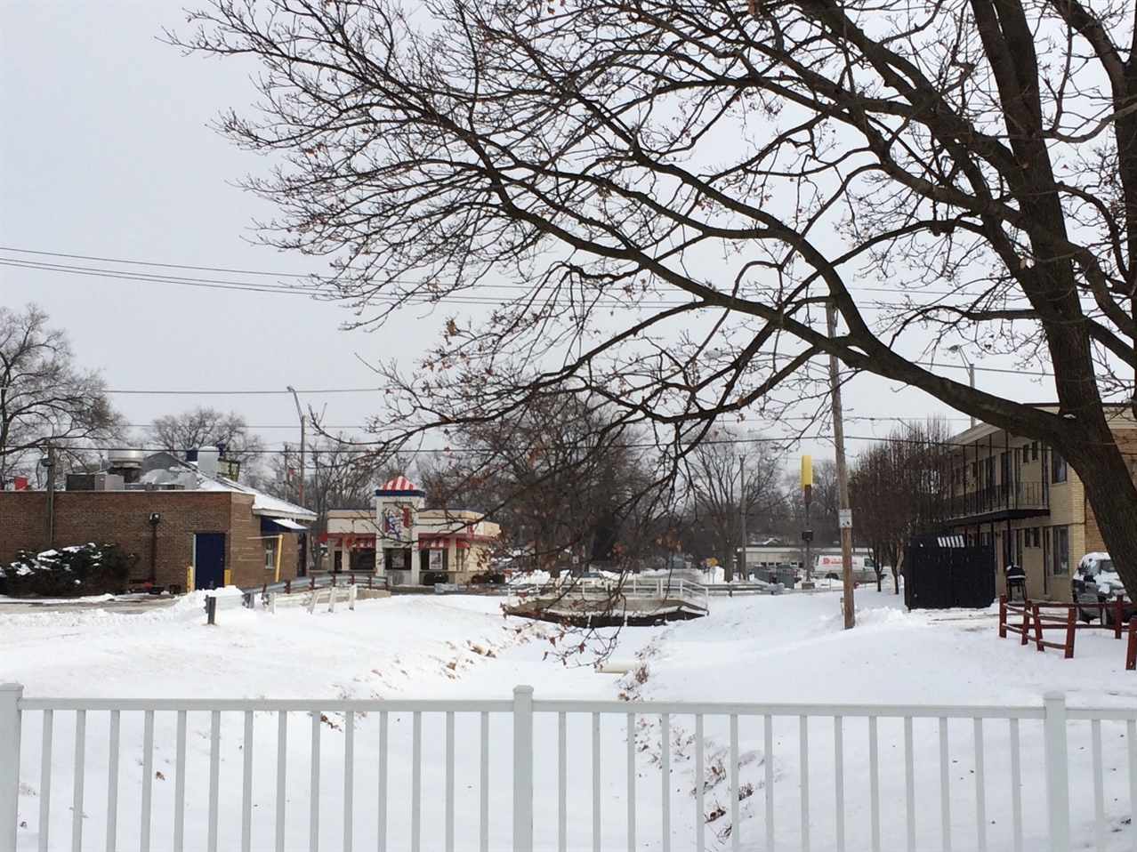
Bridges over Natalie Creek canal along 146th Street provide sense of place and reinforce the village’s roadways.
 By Josh Ellis and MPC Research Assistants Kelsey Pudlock and Daniel Wolf
 - January 30, 2015
“Merry Christmas & a flood-free new year!” reads the lawn sign posted outside the house of Helen Lekavich of Midlothian, Ill., a southern suburb of Chicago. The community group Floodlothian Midlothian, which Lekavich founded with neighbors, raises awareness of the Village of Midlothian’s ongoing flooding issues, and pursues flood relief.
Lekavich has experienced flooding in her hometown for nearly two decades, even though her home is not located in a floodplain. The record-breaking rains of April 2013 prompted her and her neighbors to start Floodlothian Midlothian to publicize the village’s unique story, and seek the help they need to rise above their flood-bound woes.
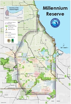
Millennium Reserve
The Millennium Reserve extends from Chicago's South Side south to the Illinois-Indiana border.
The Calumet Stormwater Collaborative—a group of key stakeholders that are working toward more efficient governance and management of stormwater in the Millennium Reserve/Calumet region—kicked off 2015 with its first monthly meeting in the Village of Midlothian, highlighted by a chilly but informative tour of Midlothian’s most flood-prone areas. The meeting took place on Friday, Jan. 9, 2015, at the Village of Midlothian Town Hall, and brought together a wide variety of government and non-governmental agencies to a local community that is directly benefiting from the Collaborative’s goal-drive planning and investment in stormwater infrastructure. Members of the Collaborative shared the status of existing projects in the local community—such as the Metropolitan Water Reclamation District of Greater Chicago’s inundation study of Natalie Creek and the Center for Neighborhood Technology’s Rain Ready Communities pilot project in Midlothian. Calumet Stormwater Collaborative members were able to receive input from local residents and discuss strategies and solutions that could collectively work toward a flood-free Midlothian.
The first stop on our tour was Natalie Creek, one of Midlothian’s local streams, that notoriously leaves residents such as Lekavich in disarray. As Natalie Creek enters Midlothian from the southwest near the intersection of 149th Street and Kilpatrick Avenue, it is channelized into a series of underground and aboveground culverts. Joe Sparrey from Midlothian’s Public Works Department pointed out where these culverts often become overburdened—resulting in a lot of stormwater in the village’s streets. It is not uncommon for 149th Street between Kilbourn and Kostner avenues—shown in the map below—to be deluged by a storm bringing two inches of rain or less.
At the following three stops on the tour, Sparrey pointed out the yards and homes along Kildare and Keeler avenues that become the resting grounds from much of the rain that overspills from the inundated streets. As a result, Midlothian’s ephemeral lake, dubbed “Lake Helen,” emerges as Helen Lekavich’s yard becomes a relatively static pool of stormwater.
After peering out at the channelized Natalie Creek from one of the recently built bridges that improve the community’s sense of place and reinforce the village’s infrastructure by raising the transecting roadways, the tour ended with homemade cookies in Lekavich’s garage—where Floodlothian Midlothian was brought to fruition.
“Lake Helen” emerges as Helen Lekavich’s yard becomes a relatively static pool of stormwater.
Prior to the group’s existence, Lekavich personally reached out to numerous state and local agencies for help, to no avail. But over the past couple of years, Floodlothian Midlothian has been able to effectively foster a bottom-up approach to build capacity and take action so Midlothian residents afflicted by recurring flooding can seek relief. The advocacy group has collected ample amounts of data in the form of personal stories, photography and ‘hard data’ such as flood inundation levels in homeowners’ basements. Combined with their persistent outreach efforts, the Village of Midlothian has found help in the hands of Calumet Stormwater Collaborative members, such as Metropolitan Water Reclamation District of Greater Chicago, the Center for Neighborhood Technology and the U.S. Army Corps of Engineers, to find the relief they desperately need. As priorities carry over into the New Year, the Collaborative is off to a productive start—assisting real people on the ground, not just upholding abstract governance principles.