Yonah Freemark
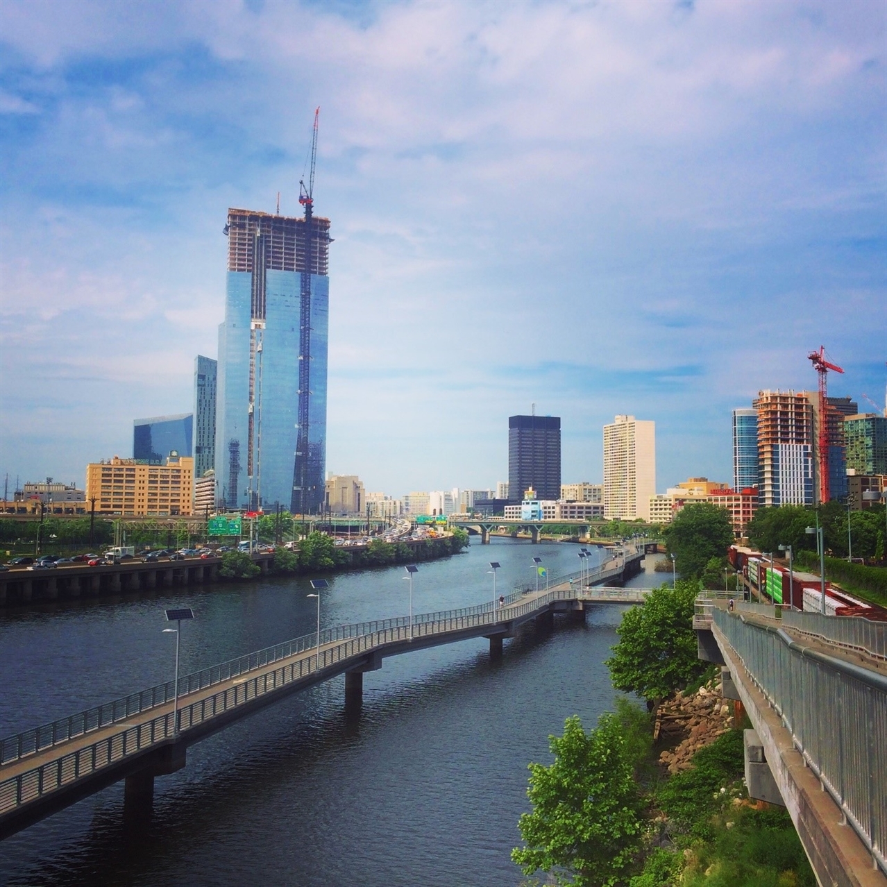
The new riverfront pedestrian and bike trail along the Schuylkill in Philadelphia's downtown
Philadelphia’s downtown is framed by its rivers: To its east is the Delaware, to its west the Schuylkill. While the city’s growth was founded on its access to the water, with major industrial facilities and shipyards concentrating on these rivers’ banks, the connection between downtown and the water was increasingly cut off by major transportation infrastructure. Railroads were built on both sides of the Schuylkill. An expressway was added in 1960. And in 1979, I-95 was completed along the Delaware.
Perhaps more than any other major U.S. city, Philadelphia chose to make the natural resource it had been founded on inhospitable to pedestrians.
In previous decades, Philadelphia proposed major office towers, apartments and shopping malls along the Delaware, hoping to get people to the water despite its distance from the center city. Yet many of those expensive real estate developments fell through, and the waterfront languished for decades as downtown prospered.
But now Philadelphia is trying something new: smaller-scale, lower-cost riverfront investments designed to attract people, rather than big construction projects. For the Metropolitan Planning Council’s Great Rivers Chicago initiative, which is recommending a series of improvements for Chicago’s river system, Philadelphia is providing a useful example in a peer city.
A few weeks back, I had the opportunity to visit the city as part of the Act Urban conference, and there I was able to experience many of the improvements the city has completed along both the Delaware and Schuylkill.

Yonah Freemark
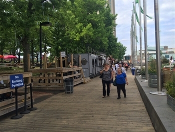
Food trucks at Spruce Street Harbor Park
On the Delaware, one highlight is the Spruce Street Harbor Park, which opened in 2014 as a free summer-season temporary space. The park was the initiative of the Delaware River Waterfront Corporation, a nonprofit that also runs an ice rink in the area during the winter.
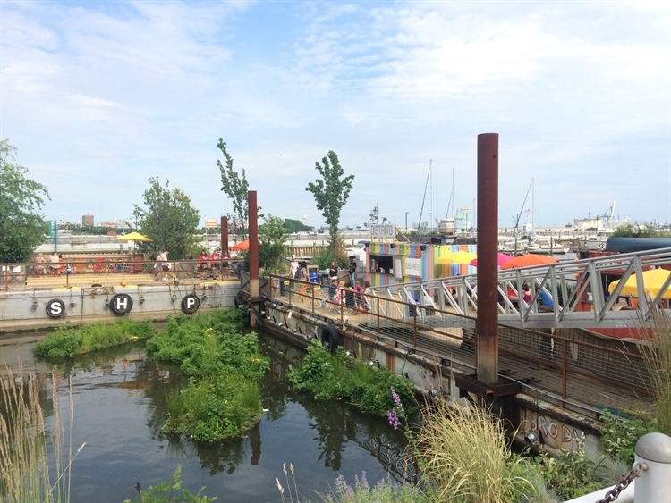
The park incorporates hammocks, fountains, a boardwalk, lawn games and food carts. It also includes a floating garden surrounded by active uses like a beer garden and taco stand. The project cost a total of just about $1 million to build—virtually nothing compared to real estate deals that can cost hundreds of millions of dollars. By taking advantage of low-cost and reusable materials, the riverfront was activated at a very small cost.
On the weeknight I visited, the park was packed with people enjoying the lovely summer evening. The day was no exception to the rule; in its first year, the park attracted 500,000 visitors and redefined what people in the city think of the Delaware riverfront.

Yonah Freemark
Floating gardens, tacos and beer on the Delaware River
On the other side of Philadelphia’s Center City, the Schuylkill is getting a different kind of makeover. The nonprofit Schuylkill River Development Corporation, founded in 1992, created a master plan in 2003 that proposes a riverfront trail along the length of the river, connecting the Philadelphia Museum of Art with center city, the University of Pennsylvania and other neighborhoods. The plan suggests parks, new boat docks and associated development along the banks.

Yonah Freemark
The cycling and pedestrian trail downtown
So far, the corporation has invested in 2.4 miles of riverfront trail along the total of 8 miles planned along the river. Part of the trail includes a grass “beach” where people of all ages were hanging out in the middle of the weekdays when I visited. The spot was clearly a popular addition to the city’s park network.
Farther south along the river, railroad tracks are positioned too close to the river to allow the trail to be completed. As a result, the trail incorporates an innovative solution: a 2,000-foot-long boardwalk elevated above the river and positioned about 60 feet from the shore—similar in concept and form to the Addison Underbridge Connector the City of Chicago plans for the city’s North Side.

Yonah Freemark
Relaxing along the Schuylkill riverfront
The trail is a great vantage point to ogle the new towers being built on both sides of the river. With built-in and shaded sitting areas, which include historical markets and information, the trail is a delight for pedestrians, bikers and tourists.
The Schuylkill Banks have become a destination as popular as its Delaware companion: On average, 30,000 people bike and walk along its path each week. The extension of the trail is planned for the coming years, but it will require additional public and foundation support.