Metropolitan Planning Council
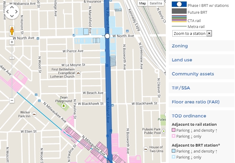
A screenshot of the Ashland Avenue BRT mapping tool.
This week, the Metropolitan Planning Council (MPC) released its new Ashland Avenue Bus Rapid Transit (BRT) Mapping Tool, available at metroplanning.org/brtmap.
The interactive map, provided for free use by community members, developers and others interested in the future of Ashland Avenue and Chicago as a whole, offers detailed information about the corridor along which Chicago’s first gold-standard BRT line will run. Ashland Avenue BRT, scheduled to open in 2015, will increase bus speeds by up to 80 percent between 31st and Cortland Streets by giving buses dedicated lanes, off-board ticketing, improved stations and priority at signals.
MPC’s tool integrates information about zoning, land use, community assets, TIF areas and Census data for areas around stations along the BRT corridor. MPC also evaluated development potential based on current floor area ratio allowances and the city’s proposed TOD ordinance; that information is integrated into the tool.
Visit the tool at metroplanning.org/brtmap.